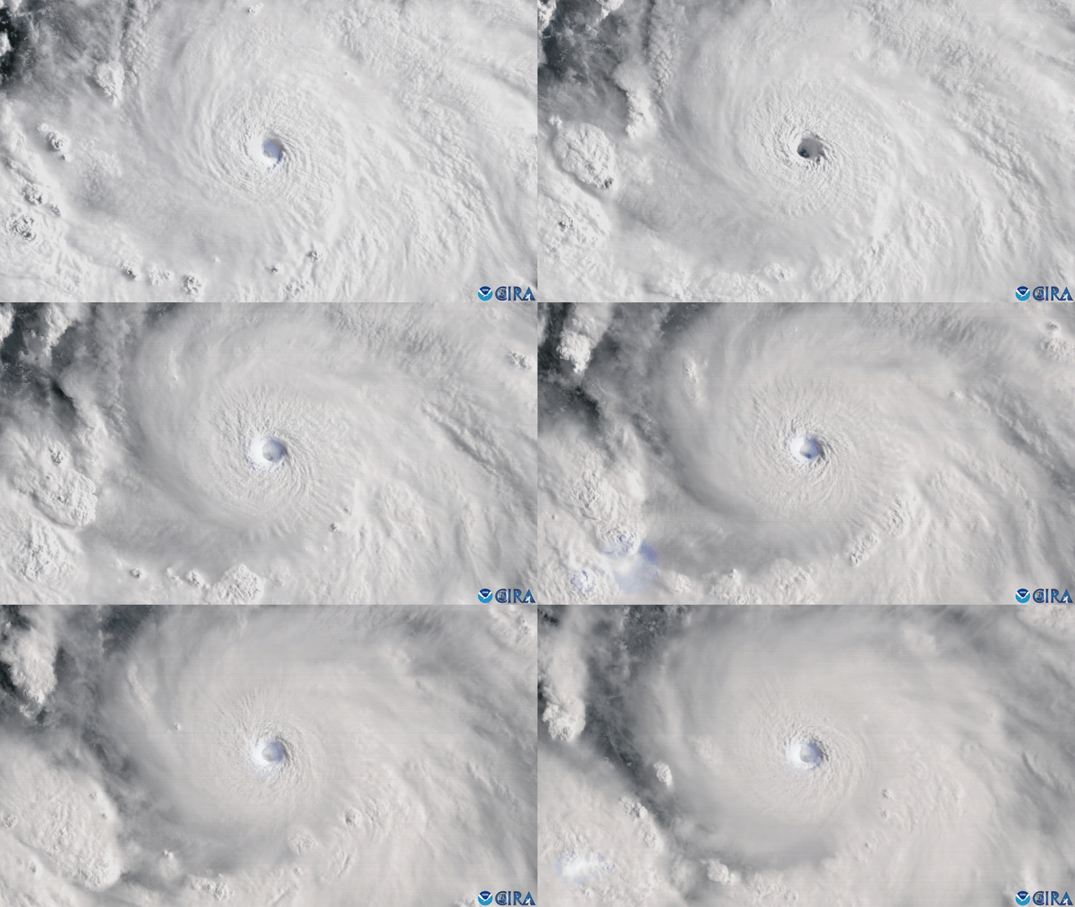
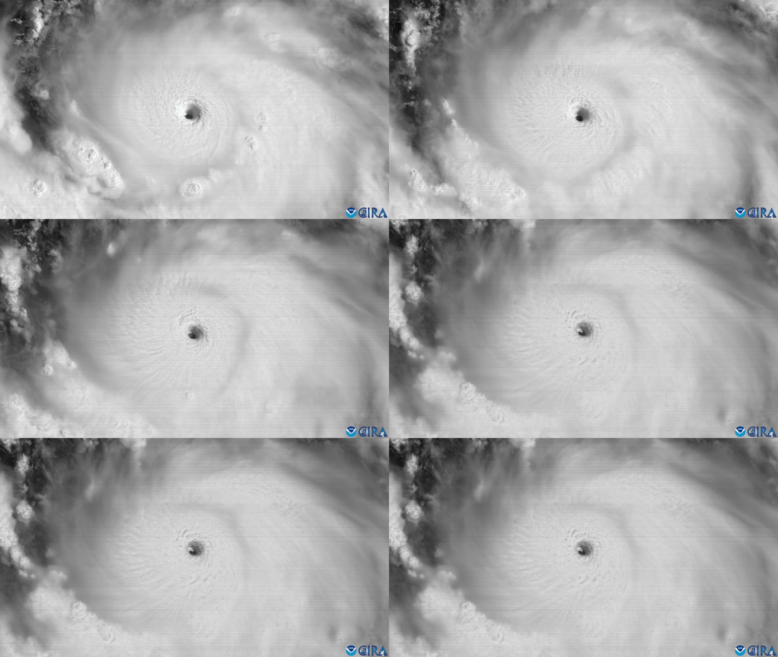
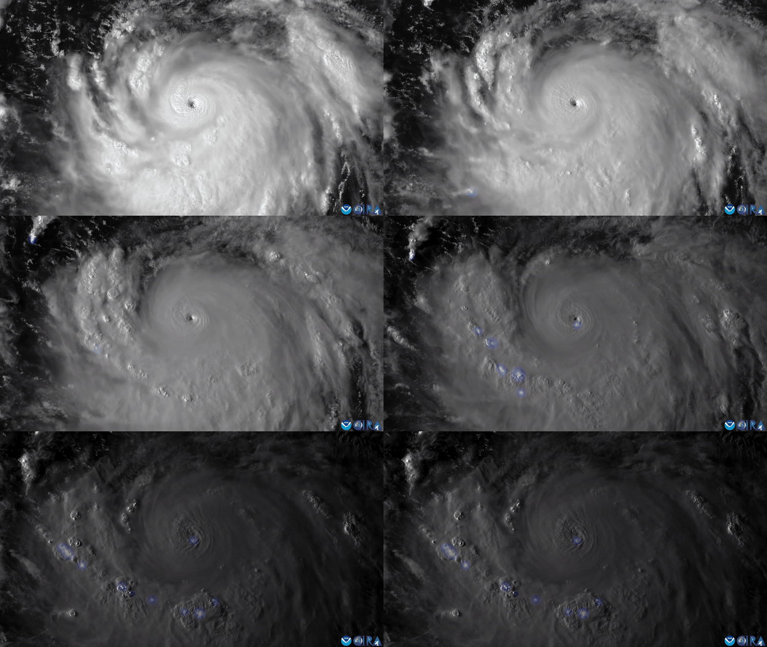
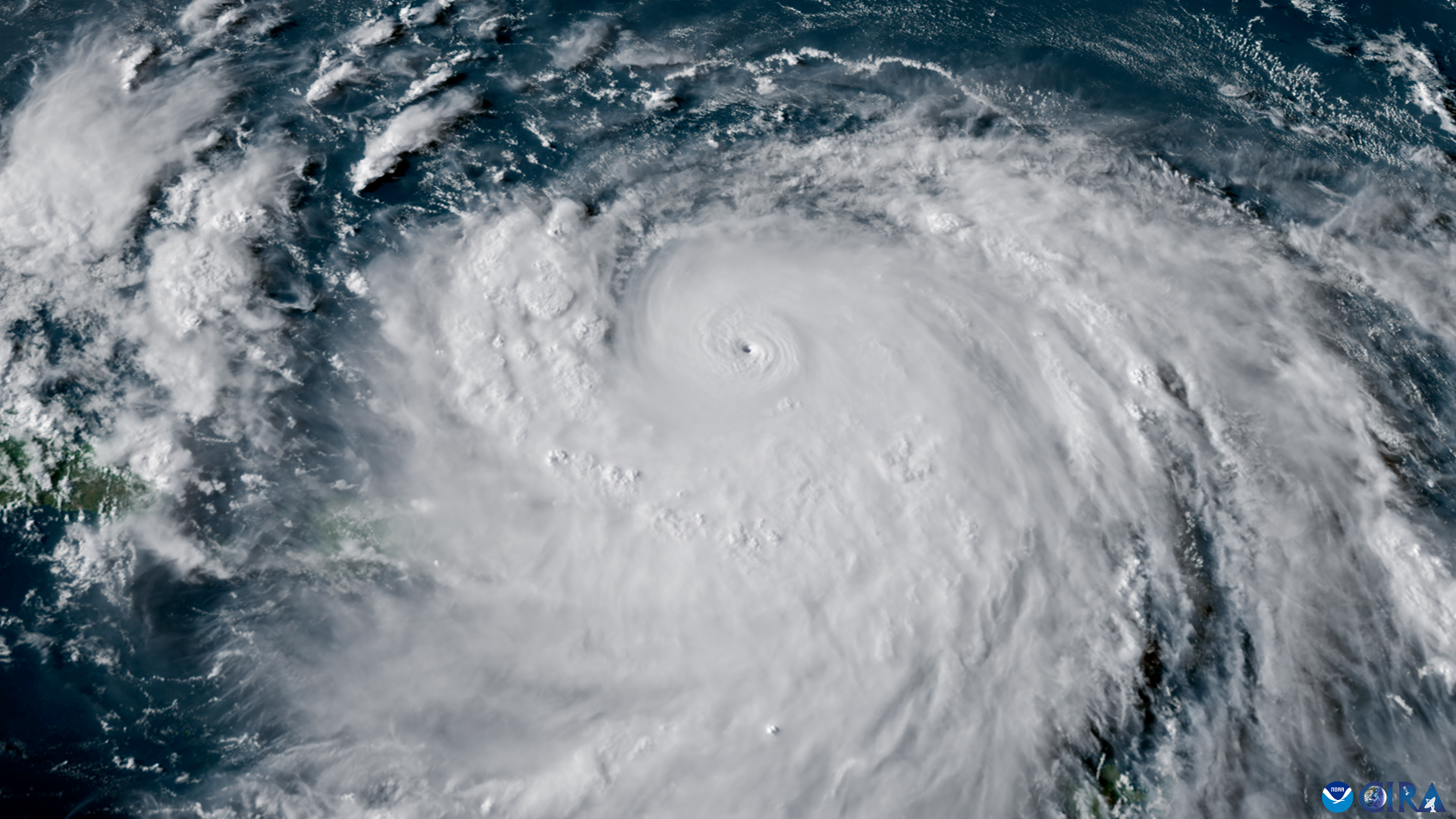
A weather satellite has captured stunning footage of Hurricane Erin crackling with flashes of lightning as it rapidly intensified into a Category 5 hurricane over the weekend.
The National Oceanic and Atmospheric Administration’s (NOAA) latest geostationary satellite, GOES-19, recorded Erin as it strengthened into a hurricane on Friday (Aug. 15) and then topped the Saffir-Simpson Wind Scale with maximum sustained winds of 160 mph (260 km/h) on Saturday (Aug. 16).
Erin strengthened so quickly that it became one of the fastest intensifying storms in Atlantic history, CNN Weather reported. The tropical storm has varied in strength since becoming a Category 5, and is currently a Category 4, with maximum sustained wind speeds of about 130 mph (215 km/h).
While Erin isn’t set to make landfall, it will likely threaten coastlines with life-threatening waves and flooding as it travels between the Bahamas and U.S. East Coast this week. A tropical storm warning is also currently in effect for the Turks and Caicos Islands and southeastern Bahamas, according to a National Hurricane Center (NHC) update.
The satellite images reveal stormy activity inside Erin, with lightning flashing around the eye of the storm like a bright blue iris.
Related: Hurricane Milton: Jaw-dropping images taken from space show the storm rapidly intensifying as it approaches Florida
The Geostationary Operational Environmental Satellites (GOES) are a network of satellites built by NASA and operated by NOAA. Researchers use the satellites for monitoring the weather on Earth and in space in real time.
Erin developed into a named tropical storm on Aug. 11 with winds of about 45 mph (75 km/h) — the United Nations’ World Meteorological Organization names tropical storms with maximum sustained wind speeds of more than 39 mph (63 km/h). By Aug. 15, Erin was strong enough to be classified as a hurricane, breaching the threshold of sustained wind speeds of 74 mph (119 km/h) or greater, and continued to strengthen until it peaked as a Category 5 hurricane on Saturday.
Hurricanes are rapidly intensifying more frequently as atmospheric and sea temperatures rise with climate change. Researchers have documented record-breaking average sea surface temperatures in recent years, and the warming waters provide extra energy to growing hurricanes.
Erin is expected to vary in strength, but will continue to be a major and dangerous hurricane through the middle of this week, according to the NHC.


