Faults like San Andreas don’t necessarily repeat past behavior, which means the next big earthquake in California has the potential to be larger than any seen before, a new study suggests.
The fresh insights into fault behavior came from studying Myanmar’s devastating March earthquake, which killed more than 5,000 people and caused widespread destruction. Scientists found that the fault responsible, an “earthquake superhighway” known as the Sagaing Fault, ruptured across a larger area, and in places that they wouldn’t have expected based on previous events.
Faults are fractures in Earth’s crust. Stress can build up along the faults until eventually the fault suddenly ruptures, causing an earthquake. As the Sagaing and San Andreas faults are similar, what happened in Myanmar could help researchers better understand what might happen in California.
“The study shows that future earthquakes might not simply repeat past known earthquakes,” study co-author Jean-Philippe Avouac, a professor of geology and mechanical and civil engineering at Caltech, said in a statement. “Successive ruptures of a given fault, even as simple as the Sagaing or the San Andreas faults, can be very different and can release even more than the deficit of slip since the last event.”
Related: Almost half of California’s faults — including San Andreas — are overdue for earthquakes
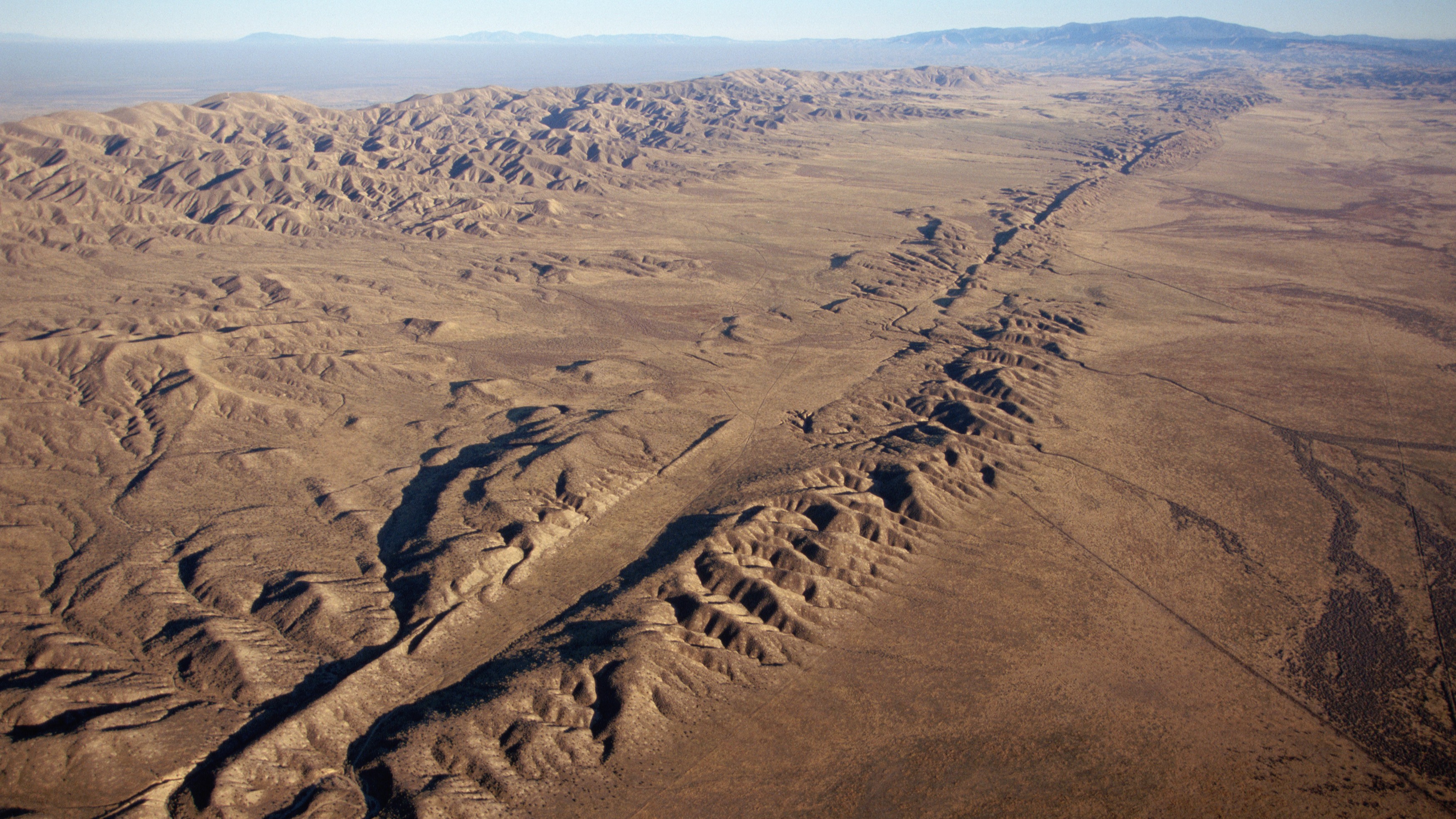
The San Andreas Fault is the longest fault in California, stretching about 746 miles (1,200 kilometers) from the state’s south at the Salton Sea to its north off the coast of Mendocino. In 1906, a rupture in the northern section of the fault caused a devastating magnitude 7.9 earthquake that killed more than 3,000 people, according to the U.S. Geological Survey.
Earthquakes are notoriously unpredictable, but geologists have long warned that the San Andreas Fault will produce another massive earthquake at some point. For instance, the area nearest to Los Angeles has a 60% chance of experiencing a magnitude 6.7 or greater in the next 30 years, according to the USGS.
The 870-mile-long (1,400 km) Sagaing Fault is similar to the San Andreas Fault in that they are both long, straight, strike-slip faults, which means the rocks slide horizontally with little or no vertical movement.
Geologists were expecting the Sagaing Fault to slip somewhere along its extent. Specifically, they thought that the rupture would take place across a 190-mile-long (300 km) section of the fault where no large earthquakes had occurred since 1839. This expectation was based on the seismic gap hypothesis, which anticipates that a stuck section of a fault — where there hasn’t been movement for a long time — will slip to catch up to where it was, according to the statement.
However, in the case of Sagaing, the slip occurred along more than 310 miles (500 km) of the fault, meaning that it caught up and then some. The researchers used a special technique to correlate satellite imagery before and after the event. Those images revealed that after the earthquake, the eastern side of the fault moved south by about 10 feet (3 m) relative to the western side. The scientists say that the imaging technique they used could help improve future earthquake models.
“This earthquake turned out to be an ideal case to apply image correlation methods [techniques to compare images before and after a geological event] that were developed by our research group,” study first author Solène Antoine, a geology postdoctoral scholar at Caltech, said in the statement. “They allow us to measure ground displacements at the fault, where the alternative method, radar interferometry, is blind due to phenomenon like decorrelation [a process to decouple signals] and limited sensitivity to north–south displacements.”


