QUICK FACTS
Where is it? Mid-Atlantic Ocean, off the coast of West Africa
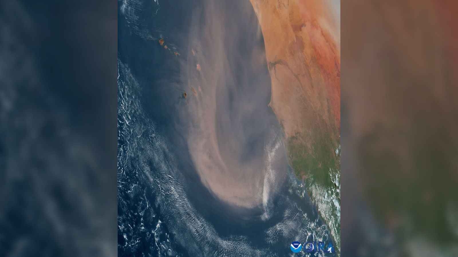
What’s in the photo? A giant, comma-shaped cloud of Saharan dust being blown out to sea
Which satellite took the photo? GOES-19
When was it taken? May 28, 2025
Satellites recently snapped a giant cloud of “Saharan dust” blowing out to sea from the world’s largest hot desert. The hazy mass later traveled more than 4,000 miles (6,500 kilometers) to North America, where it polluted the skies of Florida and other states.
In the early hours of May 28, 2025, a large cloud of dust and sand began to blow out from the Sahara and over the Atlantic Ocean, according to a statement from the National Oceanic and Atmospheric Administration (NOAA). Around a week later, on June 4, the cloud made landfall in Florida, with the plume also reaching Louisiana, Texas and other parts of the Gulf Coast. En route, it also briefly filled the skies of several Caribbean nations, including Puerto Rico and the Bahamas.
A photo captured by the GOES-19 satellite, which is co-run by NASA and NOAA, revealed the cloud as it first began its transatlantic journey. At the time, it covered an area of roughly 240,000 square miles (620,000 square km) between Cabo Verde — an archipelago of 10 volcanic islands in the mid-Atlantic — and the coast of West Africa, including the shorelines of Mauritania, Senegal, Gambia and Guinea-Bissau.
The dust cloud was a “particularly robust, comma-shaped plume,” representatives from the Cooperative Institute for Research in the Atmosphere (CIRA) at Colorado State University wrote on Bluesky. However, soon after the photo was taken, the cloud dispersed, making it “appear larger in size.”
Astronauts on board the International Space Station (ISS) also captured shots of the plume as it moved across the Atlantic, Live Science’s sister site Space.com reported.
Related: See all the best images of Earth from space
In Florida, the plume caused a brief reduction in air quality that may have impacted people with respiratory conditions. The state’s skies remained hazy for around 48 hours before the majority of the dust settled — some of which was later visible on windows and cars.
A second, smaller plume reached the U.S. between June 13 and 15.
Saharan dust can have several other surprising effects. “When it reaches the U.S., it can cause hazy skies as well as vivid sunrises and sunsets as the sun’s rays scatter the dust in the atmosphere,” NOAA representatives wrote. “It can even suppress thunderstorm development over locations where the dust is especially thick.”
Dust plumes
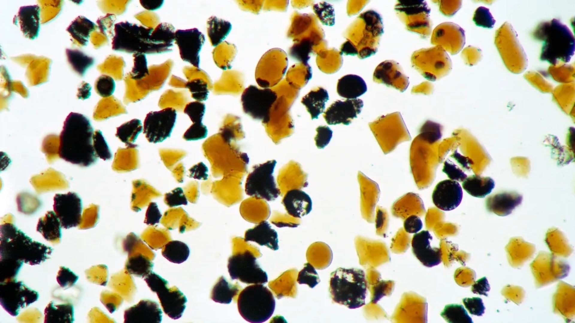
Saharan dust gets whipped up by strong gusts of wind, which occur much more frequently in deserts than other environments, and can reach several miles above Earth’s surface, according to the U.K. Met Office. This mainly happens between late spring and early fall.
Once the dust is airborne, it hovers above the desert in a region known as the “Saharan Air Layer” — a roughly 2.5-mile-wide (4 km) band of very dry air that forms around 1 mile (1.6 km) above the Sahara desert. Every three to five days, the accumulated dust gets blown out to sea, and if there is enough of it, the particulates form large plumes that can travel across entire oceans, according to NOAA’s Atlantic Oceanographic and Meteorological Laboratory, which helps monitor the Saharan Air Layer.
Saharan dust plumes of various sizes reach the U.S. every year, usually peaking in intensity between June and August.
One of the most famous examples in recent years was the “Godzilla” plume, which hit large parts of the southern U.S. in June 2020. During this two-week-long event, the amount of dust reached the highest levels since satellites began tracking plumes 18 years previously, according to a 2021 study.


