


Drought and water loss caused South Africa to rise an average of 6 millimeters (0.2 inches) between 2012 and 2020, according to a new study.
Scientists have developed a new model to measure this land uplift and associated water loss using global positioning system (GPS) data. In South Africa, they found that uplift patterns correlated with droughts and with seasonal shifts between dry and wet seasons. The GPS-based model could help researchers spot signs of drought in the future, the researchers suggest.
Scientists have known for more than a decade that South Africa is rising. Initially, some suspected the uplift was caused by a plume of hot rock in the mantle, Earth’s middle layer, that sits beneath the country. A mantle plume forms when hot material from deep in the mantle rises and pushes against the lithosphere (the crust and upper mantle), lifting the land above it.
But Makan Karegar, a geodesist at the University of Bonn in Germany, noticed that data showing uplift in South Africa correlated with periods of drought. In particular, Karegar and his colleagues spotted a pattern of uplift that corresponded to the intense “Day Zero” drought South Africa faced between 2015 and 2018, when the city of Cape Town was at risk of needing to shut off the municipal water supply. “We started to think there should be a link between this pattern and water loss,” Karegar told Live Science.
To investigate this relationship further, the team collected GPS data from permanent stations scattered throughout South Africa. These stations can precisely measure changes in height over time, down to fractions of a millimeter per year. In the new study, published April 9 in the Journal of Geophysical Research: Solid Earth, the scientists developed a model linking this uplift to changes in the country’s water storage.
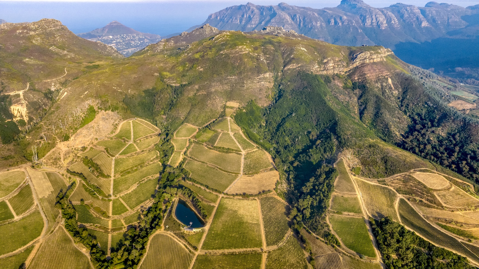
Related: Africa is being torn apart by a ‘superplume’ of hot rock from deep within Earth, study suggests
As water disappeared from surface reservoirs, soil, and groundwater reserves, the land rose, like memory foam does after a weight is removed. The researchers observed some regional and seasonal variations in height, as well as some long-term variability. But overall, between 2012 and 2020, South Africa rose an average of 6 mm in response to water loss, the team found. Some areas near depleted water reservoirs rose as much as 0.4 inches (10 mm) during the drought.
“The biggest surprise for us was that we saw an uplift over most parts of South Africa,” study coauthor Christian Mielke, a geodesist at the University of Bonn, told Live Science. “We were expecting that this would probably just affect regions close to cities,” near where reservoirs are concentrated.
Next, the team validated their model by comparing changes in land heights across South Africa to existing models of water storage and loss. They found that the GPS-based results agreed well with predictions of water loss based on satellite measurements and climate data. While the new study doesn’t rule out potential contributions from the mantle plume beneath South Africa, the strong correlations with existing models of water storage suggest that water loss is the main driving force behind the uplift.
This suggests that the uplift might not be permanent. With enough precipitation and water returning to reservoirs, the land could start to sink again, Karegar said.
But teasing out how long it might take for South Africa to rise or sink again will likely require more data, said Bill Hammond, a geodesist at the University of Nevada Reno who was not involved in the study. “We often don’t know how long our current measurements are applicable for,” he told Live Science. With just 30 years of GPS data from which to draw trends, many of which South Africa spent in drought conditions, it could be difficult to determine exactly how much of the uplift is due to drought versus the mantle plume, or how long it might take for the land to subside again after the drought’s end, he added.
In the meantime, using GPS measurements as a tool for monitoring drought conditions “is a major emerging approach,” Karegar said. While South Africa’s existing GPS stations are fairly spread out, stations in other parts of the world are spaced much more closely. Where these networks are established, they could help with water management, Karegar said.


