


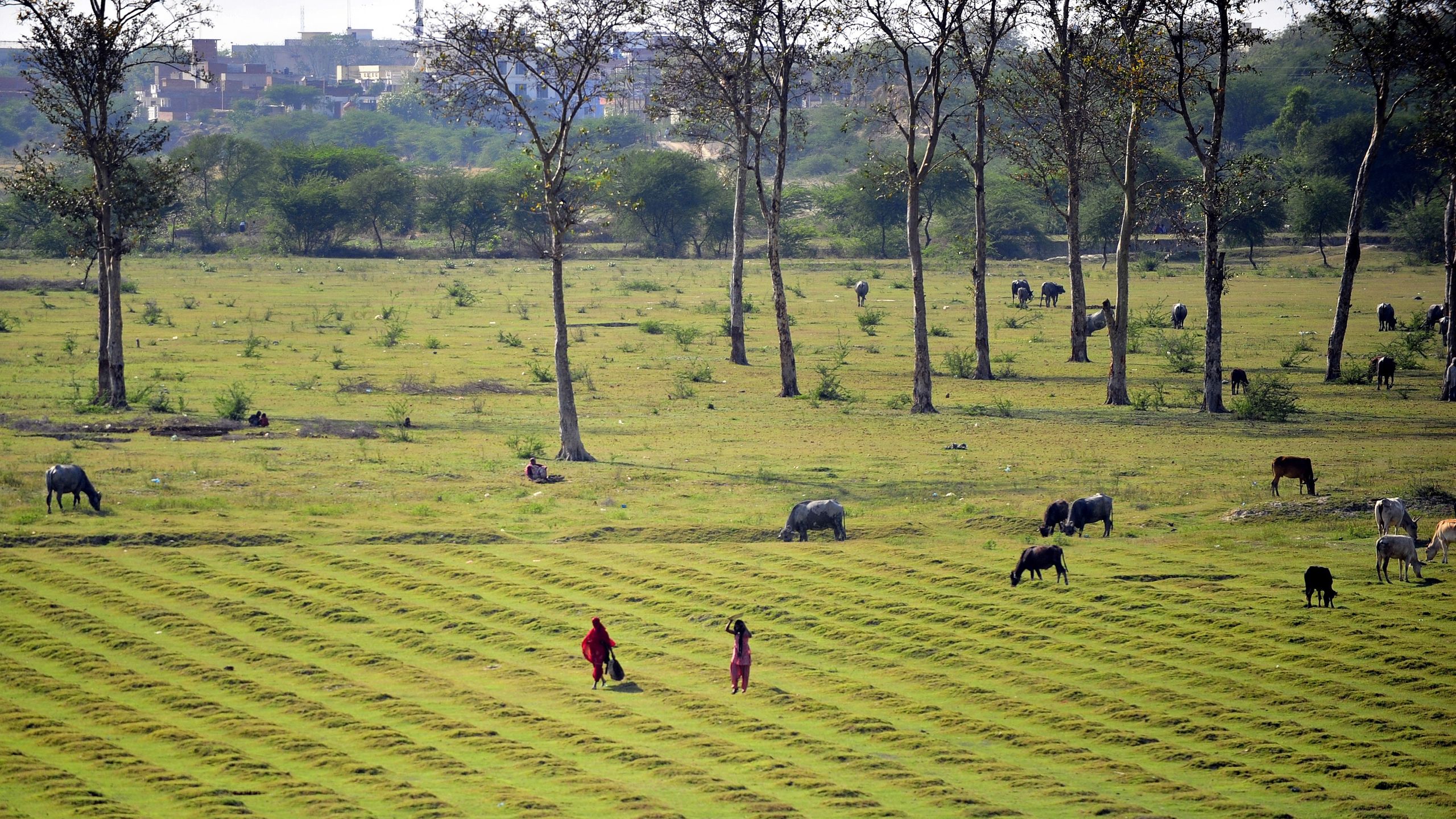

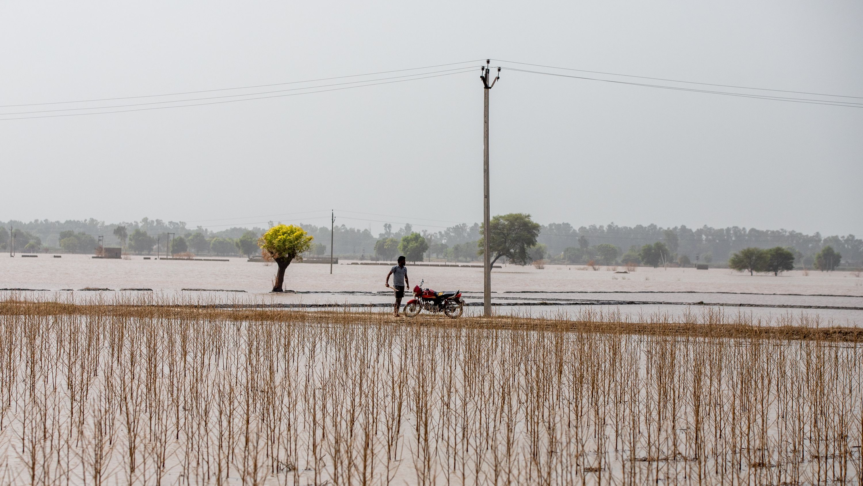
Agriculture is a cornerstone of India’s economy, employing between 40% and 50% of the country’s workforce, while providing food for over a billion people. But it’s increasingly under threat from extreme weather events linked to climate change. Between 2015 and 2021, India lost 83.8 million acres (33.9 million hectares) to floods and excess rain, and 86.5 million acres (35 million hectares) to drought.
India’s farmers are mainly smallholders — but these small farms, fragmented across the country, are heterogeneous and have limited data. This makes it hard to devise policies that can account for how they are being impacted by extreme weather events.
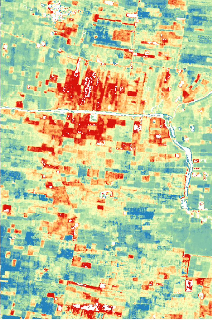
Jain’s pioneering research combines field interviews with satellite-based mapping tools to determine how farmers are reacting and adapting to these growing pressures.
Her research focuses on how agricultural production by smallholder farmers can be made sustainable, productive and importantly, resilient to unpredictable weather. Having worked in the field with farmers, from 2021 to 2023, she then used historical data on groundwater availability and insights garnered from working with farmers to ascertain how cropping patterns are changing under a warming climate.
With this, she’s working on scaling up those rich individual accounts from farmers, by leveraging satellite and remote-sensing tools to understand what is happening at a regional or national scale. She hopes this will further inform how we devise policies that can future-proof agricultural production in the face of a changing climate.
For her work, Jain has now been awarded the inaugural ASU-Science Prize for Transformational Impact, which recognises research that not only advances knowledge but also makes an important contribution to society.
She spoke to Live Science about her ability to forge a link between the people on the ground and actionable solutions to reduce the environmental impact on food systems.
Editor’s note: This interview has been edited and condensed for clarity.
What shaped the kind of research you do today?
I spent a year in India doing research on the ground and spent a lot of time with smallholder farmers. I became very interested in climate change impacts on agriculture and how people adapt. Seeing how important agriculture was for daily livelihoods, and how uncertain and precarious agriculture had become in these times, it just made me feel very passionate about working on this issue.
Initially, when I started my work, I spent a lot of time asking them how they were being impacted by climate change and how they were adapting. I learnt how to do remote sensing to use satellite images to scale what I was seeing, to regional and national scales. Now, what I’m really interested in doing is thinking about how we can use those satellite datasets to better identify and target interventions to help farmers further adapt.

How does your work on the ground with farmers inform the more quantitative aspect of your work, i.e satellite imagery and agricultural datasets?
Our work now focuses on the IGP region [the Indo-Gangetic Plains (IGP), spanning across the states of Punjab, Haryana, Uttar Pradesh and Bihar] , because that’s the main breadbasket. That is where a large proportion of the rice and wheat for India is produced. We identify which data products are of interest to produce by spending time on the ground.
For example, [I heard] many farmers say that they were increasing irrigation as temperatures warmed. Then we decided to understand how big an issue that is, how much of that is occurring across the country of India. We then developed satellite datasets to measure irrigation. That is where we spend time on the ground and use that to inform the datasets we produce in the lab.
How did this field work and daily interactions with farmers help you identify the gaps with your data, or did it complement the data that you already had? Is this knowledge transferable across other farming regions in the tropics?
The satellite data, while it’s really powerful for understanding patterns at large scales, doesn’t allow you to really understand the drivers of decision-making behind the patterns you see. So we really rely on our household surveys — large-scale quantitative data — to understand those options.
While a bulk of our work, probably 70% of it, takes place in India, we are expanding our work to other countries. We’re taking a similar approach and working with partners in Mexico, Colombia, Zambia and different smallholder systems across the tropics.

As climate change is primarily characterized by unpredictability, how does your research work towards adapting or mitigating that?
There are two ways. One is that with the satellite data, we can get a long-term historical understanding of cropping practices for about 20 years. Then we can put them into our models to understand how, in the past, when a certain weather event happened, what did people do? What was the impact?
The other way they can help is with real-time monitoring. We can look at the vegetation growth curves of crops within a season. For instance, our work has largely focused on wheat across the IGP. We also have some new work about rice and wheat in central India. We largely focus on grain crops because they’re the primary staple for livelihoods and are also easier to map using satellite data.
You have dealt with datasets that map groundwater availability, climate change and cropping patterns. How can this help inform mitigation or adaptation in the face of extreme weather events, heat waves, drought, and floods, especially those that affect farmers in India and other South Asian countries?
The challenge when we use historical data to understand how people are adapting is that we can only say how they’ve adapted to what has happened in the past. But obviously, conditions are changing — extreme events are becoming more frequent. So definitely more work is needed in this space, because maybe taking what we learned historically wouldn’t exactly apply in the future. I think this is an important research question.
How does this research expand over the next few years?
The types of projects I’m really excited about now are projects where we use satellite data to target and inform intervention, which is more action-oriented. To give an example, I have some work where we’re trying to see if we can use satellite data to pick up the lowest-yielding fields, and eventually target interventions [in those regions in India].


