


The construction of thousands of dams since 1835 has caused Earth’s poles to wobble, new research suggests.
Scientists found that large dams hold so much water they redistribute mass around the globe, shifting the position of Earth’s crust relative to the mantle, the planet’s middle layer.
Earth’s mantle is gooey, and the crust forms a solid shell that can slide around on top of it. Weight on the crust that causes it to shift relative to the mantle also shifts the location of Earth’s poles, the researchers said.
“Any movement of mass within the Earth or on its surface changes the orientation of the rotation axis relative to the crust, a process termed true polar wander,” the researchers wrote in the study, published May 23 in the journal Geophysical Research Letters.
Scientists already knew human activities that displace enormous volumes of water can trigger polar wander. A study published in March showed that dramatic ice melt due to climate change may move the poles by 90 feet (27 meters) by the end of this century. And a 2023 study concluded that groundwater extraction between 1993 and 2010 caused a polar drift of 31 inches (80 centimeters).
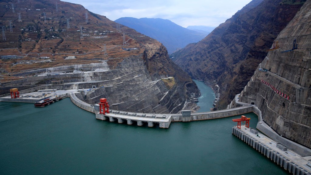
For the new study, researchers examined the impact of 6,862 dams, built across the planet, on Earth’s poles between 1835 and 2011. The team used an already-published database of dams, which previously revealed that the volume of water held by these dams — a volume that could fill the Grand Canyon twice — had resulted in a 0.9-inch (23 millimeters) fall in global sea levels.
Related: Earth is going to spin much faster over the next few months — so fast that several days are going to get shorter
Storing water behind dams caused Earth’s poles to move a total distance of 3.7 feet (1.1 m) over the study period, the authors of the new research found.
“As we trap water behind dams, not only does it remove water from the oceans, thus leading to a global sea level fall, it also redistributes mass in a different way around the world,” study lead author Natasha Valencic, a graduate student in geology, geophysics and planetary science at Harvard University, said in a statement.
The results, which were based on computer calculations and modeling, showed two distinct phases of polar wander within the study period. The first, from 1835 to 1954, reflects large-scale dam construction in North America and Europe. This caused the North Pole to migrate 8 inches (20 cm) closer to the 103rd meridian east — an imaginary line that runs north-south through Russia, Mongolia and China.
The second phase, from 1954 to 2011, reflects expansive dam construction in East Africa and Asia. These dams added mass onto the opposite sides of the globe to North America and Europe, leading to a 22-inch (57 cm) shift in the North Pole’s location toward the 117th meridian west, which runs through western North America and the South Pacific. Polar wander is not linear, instead forming a wobbly line, which is why the net shifts in each direction do not add up to 3.7 feet.
While the location of the poles has relatively little impact on Earth’s processes, the impact of dams on sea levels is meaningful, Valencic said. “We’re not going to drop into a new ice age, because the pole moved by about a meter in total, but it does have implications for sea level,” she said.
The results suggest that scientists should account for dams in their sea level rise projections, because dams block so much water from reaching the oceans. Global sea levels rose by 4.7 to 6.7 inches (12 to 17 cm) during the 20th century. About a quarter of that amount of water is behind dams, which means that depending on where you are in the world, dams will influence sea levels, Valencic said.
“That’s another thing we need to consider, because these changes can be pretty large, pretty significant,” she said.


